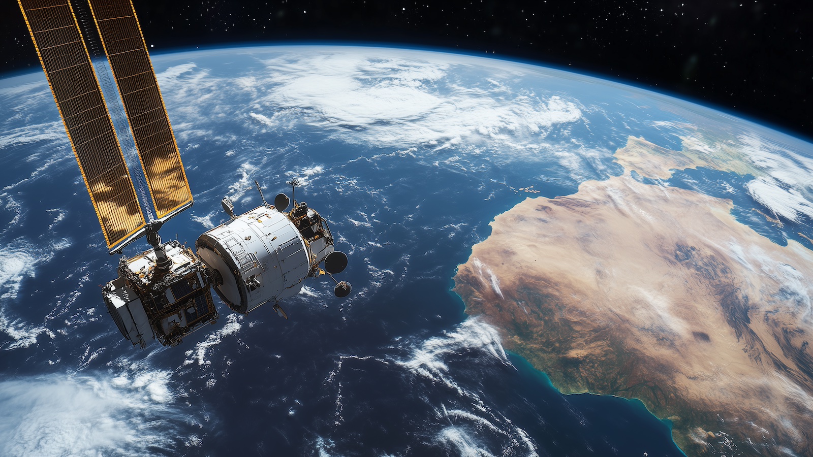
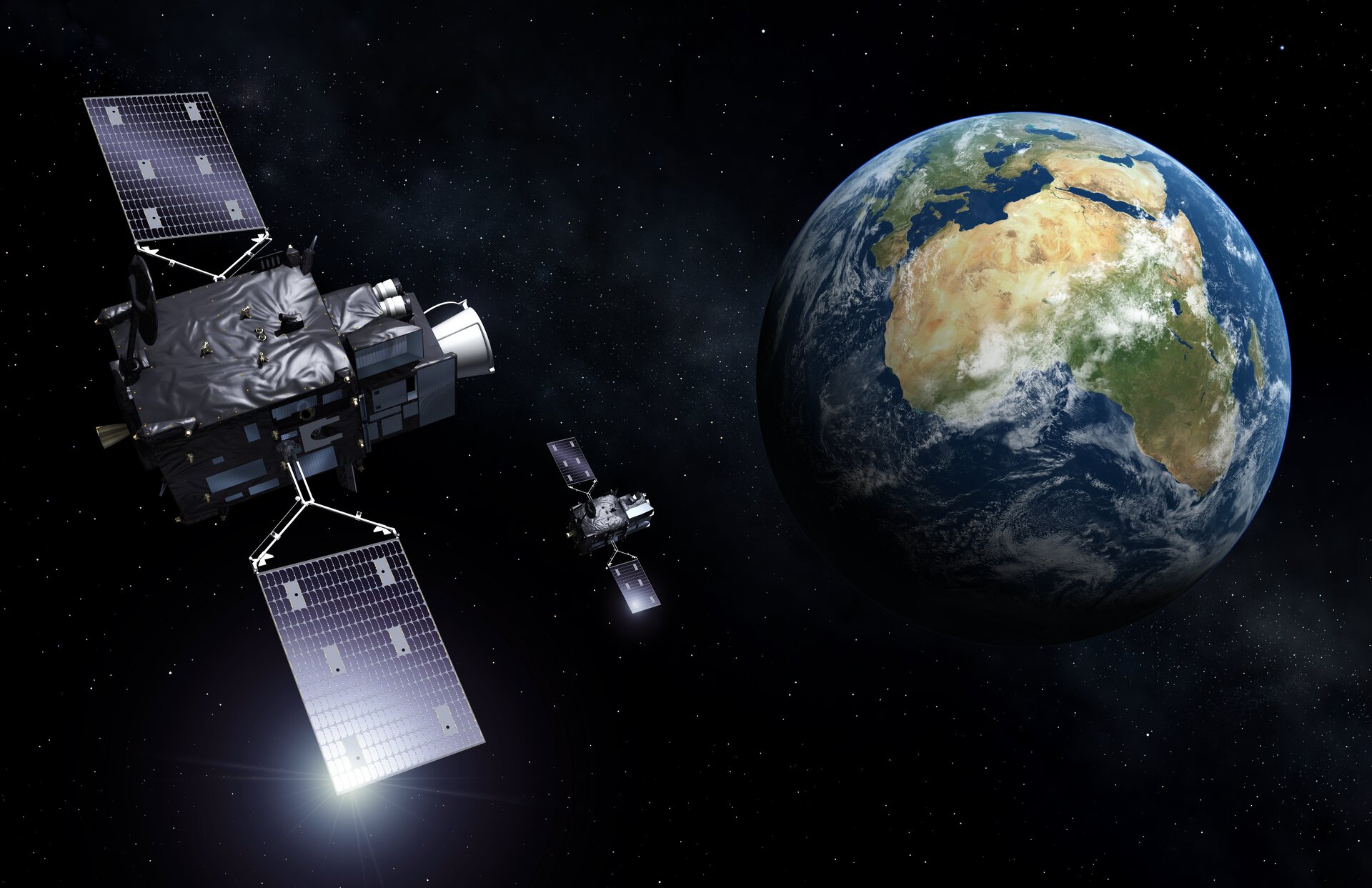
Satellite Weather already supports the newest EUMETSAT’s Meteosat Third Generation (MTG) high-resolution geostationary satellite
Further supported data includes imagery from MSG, Himawari, GOES and various derived products.
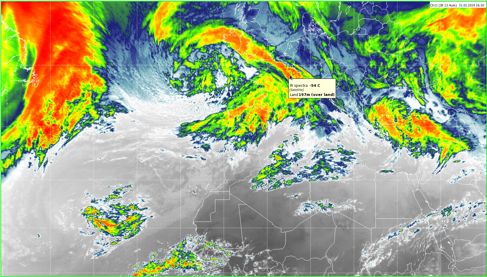
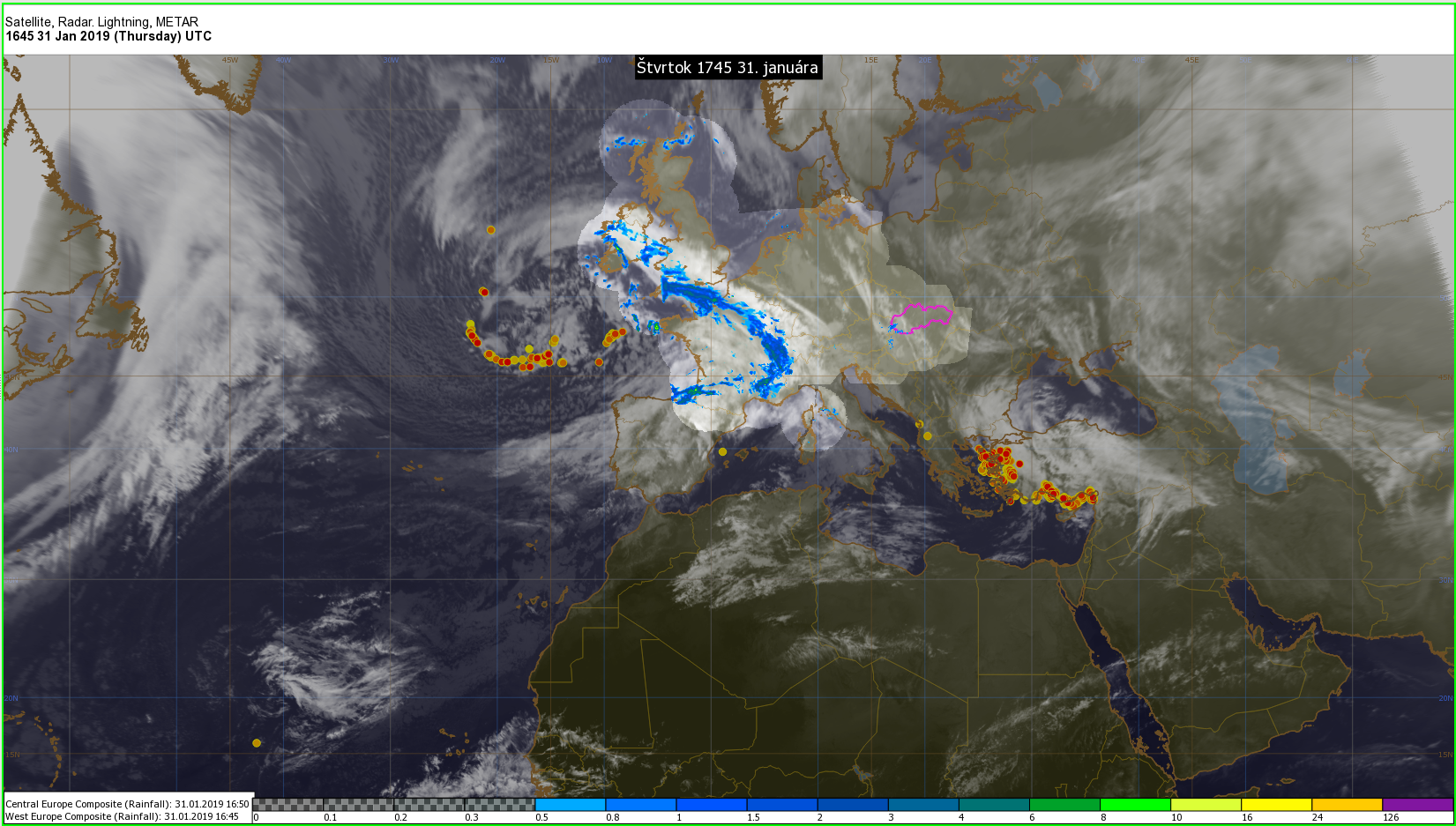
Display of the data is an essential functionality, either directly in the Satellite Weather or via integration with Visual Weather.
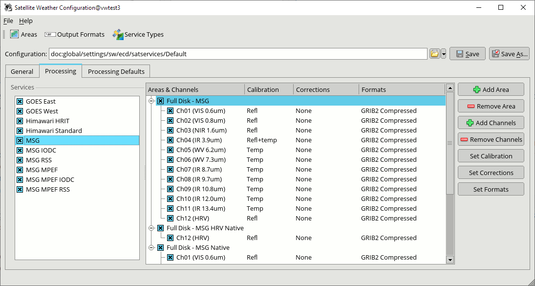
The complexity and flexibility of the processing tools are hidden behind a user-friendly graphical interface for configuration and monitoring.
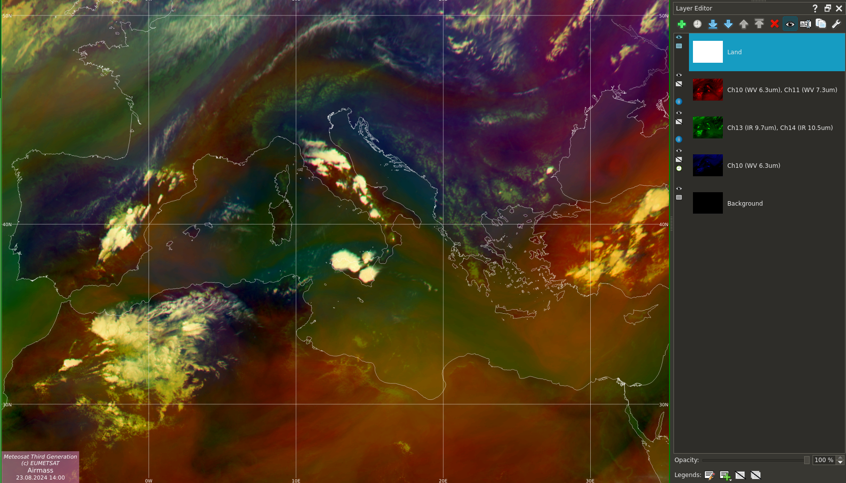
RGB spectral composites are useful for visually distinguishing between different states of the atmosphere and various atmospheric features.
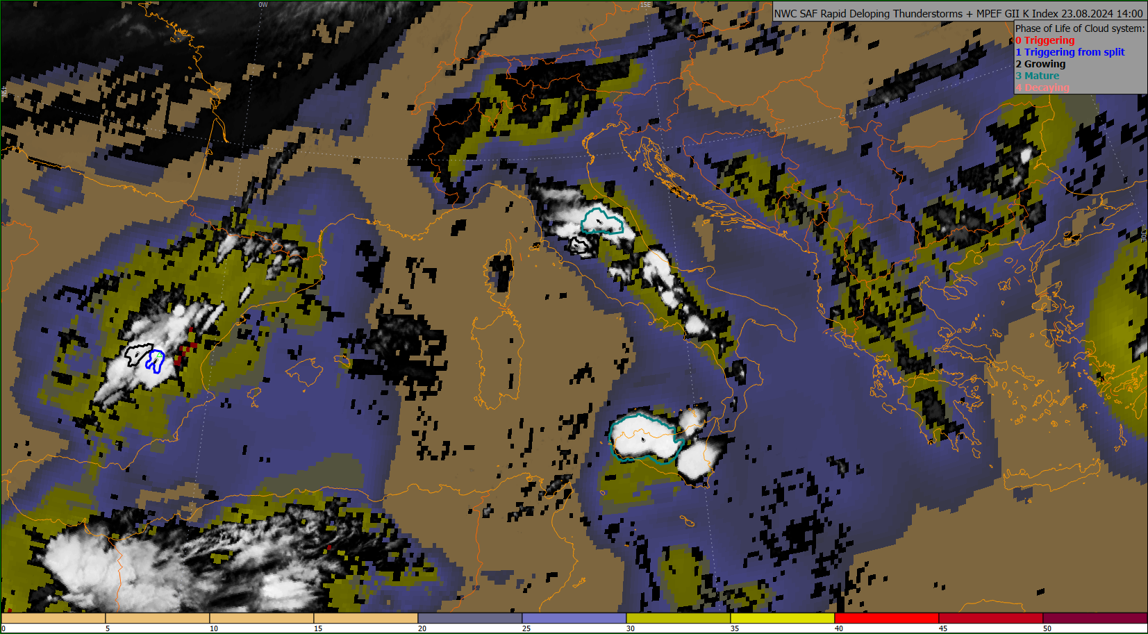
In addition to level-1 data, Satellite Weather can display various derived (level-2) satellite products.
In addition to the products coming directly via EUMETCast, IBL offers installation and configuration of the NWC SAF GEO software on your site, to calculate additional derived products.
Satellite Weather is designed for non-stop automatic operation, where stability is the foremost concern.
Satellite Weather can be a stand-alone solution to process and visualise the satellite data or integrated with other IBL products, e.g. Visual Weather, for further processing and production. Its distribution mechanisms allow further distribution of output and integration with other IBL or third-party software.
Visual Weather allows
Satellite Weather can produce data in various formats for further distribution, including GRIB or NetCDF, GeoTIFF, JPEG, PNG and other common image formats.
